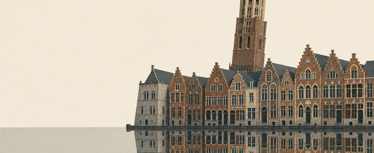
Brussels
Warm and damp from June to September; chilly and damp from December to March.
- Jan46°8°35°2°Rain on about three days a week.
- Feb48°9°35°2°Rain on about three days a week.
- Mar53°12°37°3°Rain on about three days a week.
- Apr60°16°41°5°Rain on about three days a week.
- May67°19°48°9°Rain on about three days a week.
- Jun73°23°54°12°Rain on about three days a week.
- Jul76°24°57°14°Rain on about three days a week.
- Aug76°24°58°14°Rain on about three days a week.
- Sep71°22°53°12°Rain on about three days a week.
- Oct64°18°49°9°Rain on about three days a week.
- Nov55°13°42°6°Rain on about three days a week.
- Dec47°8°36°2°Rain on about three days a week.
The warm season runs from June to September, with highs near 74°F and nights near 55°F. From December to March, highs are nearer 49°F. Rain falls on about three days a week, spread through the year. Daylight runs from about 8 hours in December to 16½ hours in June.The warm season runs from June to September, with highs near 23°C and nights near 13°C. From December to March, highs are nearer 9°C. Rain falls on about three days a week, spread through the year. Daylight runs from about 8 hours in December to 16½ hours in June.
Where Brussels sits
Europe/Brussels
- this place
- typical high in Januarytypical high in Februarytypical high in Marchtypical high in Apriltypical high in Maytypical high in Junetypical high in Julytypical high in Augusttypical high in Septembertypical high in Octobertypical high in Novembertypical high in December 40°F4°C95°F35°C
- Latitude
- 50.8°Nnorthern hemisphere
- Above the sea
- 30 mlow-lying
- Sunrise, mid-JanuarySunrise, mid-FebruarySunrise, mid-MarchSunrise, mid-AprilSunrise, mid-MaySunrise, mid-JuneSunrise, mid-JulySunrise, mid-AugustSunrise, mid-SeptemberSunrise, mid-OctoberSunrise, mid-NovemberSunrise, mid-December
- 8:39 AM7:57 AM6:59 AM6:50 AM5:54 AM5:28 AM5:45 AM6:29 AM7:16 AM8:04 AM7:57 AM8:38 AMsets 5:03 PMsets 5:57 PMsets 6:46 PMsets 8:36 PMsets 9:23 PMsets 9:57 PMsets 9:52 PMsets 9:06 PMsets 8:00 PMsets 6:53 PMsets 4:58 PMsets 4:37 PM
- Nearest of ours
- Bruges88 km north-west
The land around Brussels, shaded by its typical high in January, the planning map's own layer.The land around Brussels, shaded by its typical high in February, the planning map's own layer.The land around Brussels, shaded by its typical high in March, the planning map's own layer.The land around Brussels, shaded by its typical high in April, the planning map's own layer.The land around Brussels, shaded by its typical high in May, the planning map's own layer.The land around Brussels, shaded by its typical high in June, the planning map's own layer.The land around Brussels, shaded by its typical high in July, the planning map's own layer.The land around Brussels, shaded by its typical high in August, the planning map's own layer.The land around Brussels, shaded by its typical high in September, the planning map's own layer.The land around Brussels, shaded by its typical high in October, the planning map's own layer.The land around Brussels, shaded by its typical high in November, the planning map's own layer.The land around Brussels, shaded by its typical high in December, the planning map's own layer. Hover the map for the figure at that spot; tap it on a phone. Clock times are local, for the 15th.
Through the year
week by weekTemperature
Highs from 46°F in January to 76°F in July and August.Highs from 8°C in January to 24°C in July and August.
Chance of a wet day
Wettest in December (46% of days), driest in September (38%).
Cloud cover
Clearest in July (48% cover), cloudiest in December (72%).
Daylight
From 8h 01m in December to 16h 26m in June.
Month by month
°F°C| Month | Typical low to high | Wet days a week | Cloud | Daylight |
|---|---|---|---|---|
| JanuaryCool season | 3 days | 70% | 8h 29m | |
| FebruaryCool season | 3 days | 69% | 9h 56m | |
| MarchCool season | 3 days | 64% | 11h 47m | |
| April | 3 days | 57% | 13h 46m | |
| May | 3 days | 57% | 15h 31m | |
| JuneWarm seasonAt its best | 3 days | 52% | 16h 26m | |
| JulyWarm seasonAt its best | 3 days | 48% | 16h 00m | |
| AugustWarm seasonAt its best | 3 days | 49% | 14h 27m | |
| SeptemberWarm seasonAt its best | 3 days | 50% | 12h 30m | |
| October | 3 days | 61% | 10h 32m | |
| November | 3 days | 70% | 8h 51m | |
| DecemberCool season | 3 days | 72% | 8h 01m |
When is the best time to visit Brussels?
The best months are June to September: highs near 74°F, nights near 55°F, and rain on about three days a week.The best months are June to September: highs near 23°C, nights near 13°C, and rain on about three days a week.
How we judge it: every month is scored on how close its typical high comes to the range from 70°F to 80°F, how mild its nights are, and how rarely it rains. The best months are the run of months that scores best.How we judge it: every month is scored on how close its typical high comes to the range from 21°C to 27°C, how mild its nights are, and how rarely it rains. The best months are the run of months that scores best.
Questions
What is the warmest month in Brussels?
July and August, with highs near 76°F and lows near 58°F. The coolest is January, with highs near 46°F.July and August, with highs near 24°C and lows near 14°C. The coolest is January, with highs near 8°C.
When does it rain most in Brussels?
December, with rain on about three days a week. September is the driest, with rain on about three days a week.
How long are the days in Brussels?
From about 8 hours in December to 16½ hours in June.
When are the skies clearest in Brussels?
July, when cloud covers about 48% of the sky on average. December is the cloudiest, at about 72%.
Places with a year like Brussels's
by their highs, lows and wet days- AmsterdamNetherlands
- La Bussière-sur-OucheFrance
- FrankfurtGermany
- Luxembourg CityLuxembourg
- LeatherheadUnited Kingdom
Their highs, lows, wet days and cloud run closest to Brussels's through the year, one place a country. “Six months apart”: their winter is Brussels's summer.
Elsewhere in Belgium
All of Belgium- Bruges88 km north-west