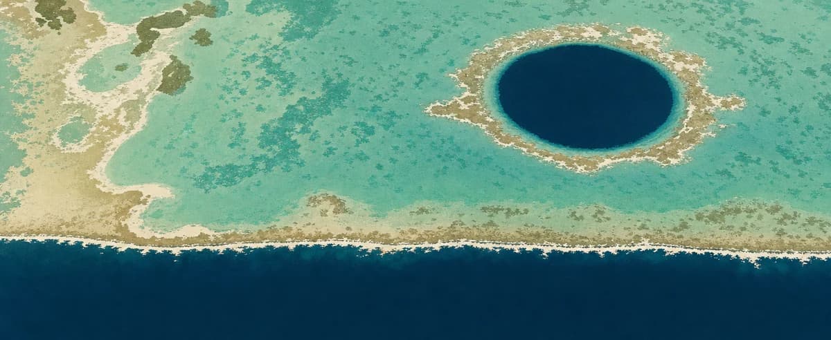
Ambergris Caye in December
Warm and wet, as the days hold steady.
December in Ambergris Caye is warm, around 77°F through the day and night. Rain falls on about five days a week, and daylight holds at about 11 hours 4 minutes.December in Ambergris Caye is warm, around 25°C through the day and night. Rain falls on about five days a week, and daylight holds at about 11 hours 4 minutes.
- Typical
- 77°F25°Caverage
- Wet days
- 5a week · 65% of days
- Daylight
- 11h 04mon average
Is December a good time to visit Ambergris Caye?
A good month, just outside Ambergris Caye's best months, which run from March to April.
How we judge it: every month is scored on how close its typical high comes to the range from 70°F to 80°F, how mild its nights are, and how rarely it rains. The best months are the run of months that scores best.How we judge it: every month is scored on how close its typical high comes to the range from 21°C to 27°C, how mild its nights are, and how rarely it rains. The best months are the run of months that scores best.
How December sits in the year
week by weekTemperature
Around 77°F in December, against 76°F to 82°F through the year.Around 25°C in December, against 24°C to 28°C through the year.
Chance of a wet day
65% of days in December, against 31% to 84% through the year.
Cloud cover
40% cover in December, against 30% to 77% through the year.
Daylight
11h 04m in December, against 11h 04m to 13h 11m through the year.
Either side
Where Ambergris Caye sits, in December
America/Belize- this place
- typical high in December 40°F4°C95°F35°C
- Sunrise, mid-December
- 6:15 AMsets 5:19 PM
- Above the sea
- 0 mlow-lying
- Latitude
- 17.9°Nnorthern hemisphere
- Nearest of ours
- Placencia Village149 km south
The land around Ambergris Caye, shaded by its typical high in December, the planning map's own layer. Hover the map for the figure at that spot; tap it on a phone. Clock times are local, for the 15th.
Elsewhere in Belize in December
typical · wet days- Placencia Village78°26° 5